Superimposed Images: Merging Reality with 3D Rendering
What is superimposition in 3D in architectural rendering?
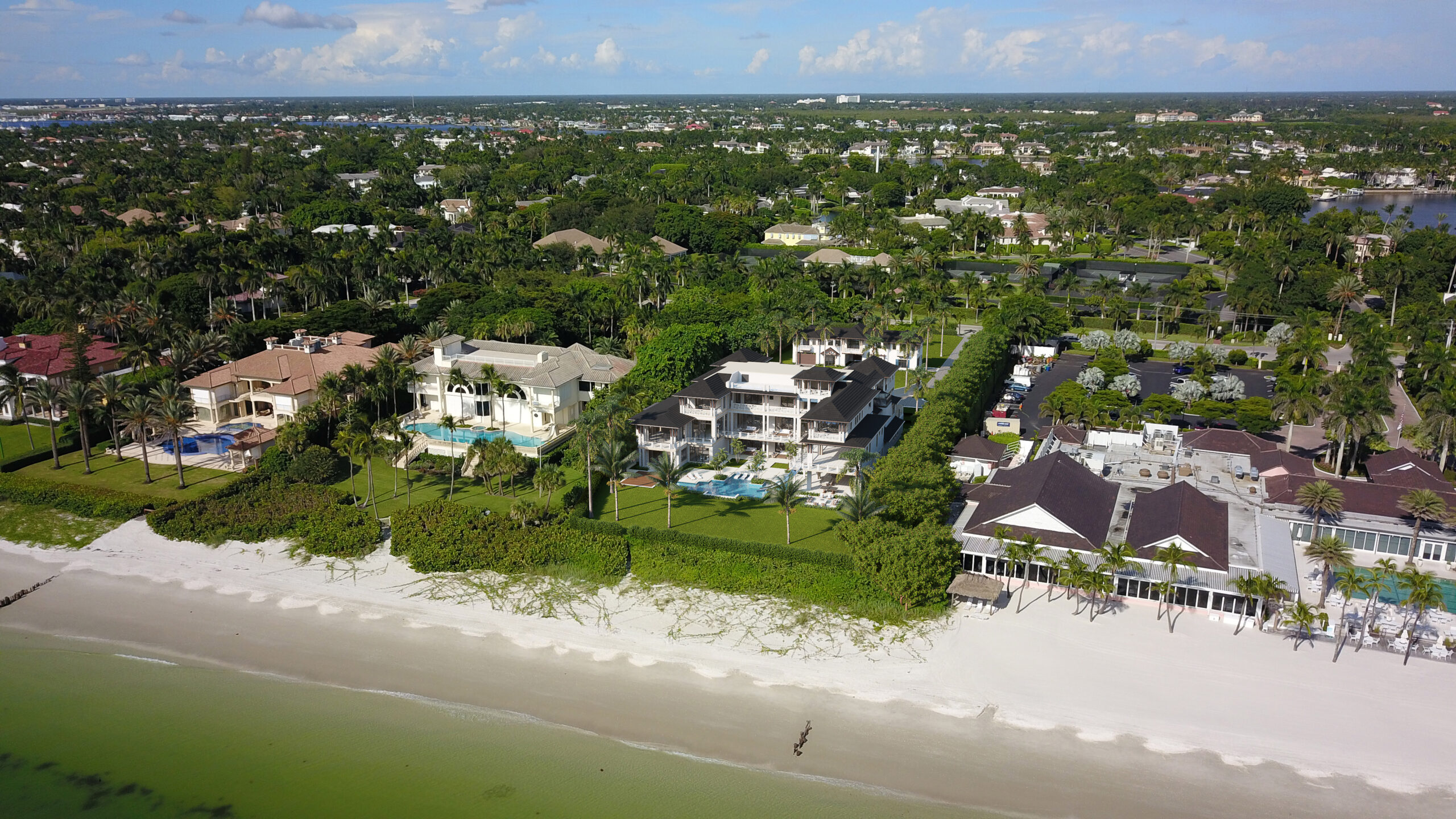
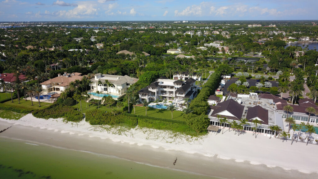
3D superimposed architectural rendering is a technique that overlays digital 3D models onto existing photographs or backgrounds. This method allows architects, designers, and developers to visualize how a new building or structure will look in its real-world context.
By combining the 3D renderings with actual images, stakeholders can see how the proposed design fits into the surrounding environment, taking into account factors like light, shadows, and landscape. This approach helps in making more informed design decisions, facilitates marketing efforts, and enhances presentations to clients or regulatory bodies. It provides a realistic view that can be more persuasive than traditional blueprints or sketches.


How to create superimposed architectural images
The process of creating superimposed architectural images involves combining drone photography of a site with advanced 3D modeling. Here’s how this process works step by step:
1. Drone Photography
First and foremost, drones capture high-resolution images and videos of the site from various angles. This crucial step provides an accurate and detailed view of the existing landscape, including surrounding buildings, topography, and natural features.
2. 3D Modeling
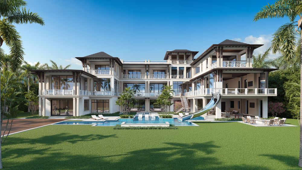
Next, using specialized software, architects and designers create detailed 3D architectural models of the proposed property. In this stage, the models include architectural elements, textures, and realistic lighting to accurately represent how the building will look.
3. Superimposition
Then, the 3D models are overlaid onto the drone photographs. This important step aligns the digital rendering with the real-world context, allowing viewers to see how the new structure will seamlessly fit into its environment.
4. Enhanced Visualization
Moreover, this combination creates a powerful visual tool. Stakeholders can effectively assess the design’s impact on the landscape, understand scale, and visualize potential challenges more clearly.
5. Presentation and Marketing
Finally, the completed superimposed images serve as compelling marketing materials. They help clients and investors visualize the project and its integration with the site. Furthermore, these images can aid in discussions with regulatory bodies during the approval process.
Overall, using drone photography in conjunction with 3D modeling offers a comprehensive and immersive way to visualize architectural projects. Consequently, this approach ensures a better understanding of both design and context, ultimately leading to more successful outcomes.